
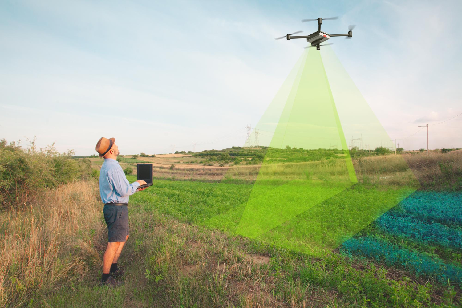
Remote Sensing & Spatial Analysis
Global GeoSoft USA’s Remote Sensing & Spatial Analysis services leverage the power of satellite and aerial imagery to provide organizations with critical insights into their geographic areas of interest. Our solutions are ideal for applications such as environmental monitoring, land-use planning, and disaster management, offering precise and up-to-date information.
- High-Resolution Satellite Imagery
- Aerial Data Collection
- Advanced Image Processing Techniques
- Change Detection & Monitoring
- Integration with GIS Platforms
- Custom Analysis & Reporting
Key Features:
High-Resolution Satellite Imagery:
Access to detailed satellite images allows for precise monitoring and analysis of geographic areas, supporting a wide range of applications.Aerial Data Collection:
By utilizing drones and aircraft, we can capture high-quality imagery in real-time, providing up-to-date information for critical decision-making.Advanced Image Processing Techniques:
Our image processing algorithms enhance the quality and interpretability of remote sensing data, making it easier to extract actionable insights.Change Detection & Monitoring:
This feature enables the identification of changes in land use, vegetation cover, and other environmental factors, which is essential for applications like disaster response and environmental conservation.Integration with GIS Platforms:
Remote sensing data is seamlessly integrated with GIS platforms, allowing for more comprehensive analysis and visualization of spatial data.Custom Analysis & Reporting:
Our tailored analysis and reporting services ensure that the information provided meets your specific needs, making it easier to achieve your organizational goals.
Benefits of Global GeoSoft’s Remote Sensing & Spatial Analysis:
Accurate Environmental Monitoring:
Our high-resolution imagery and advanced analysis techniques provide the detailed information needed for effective environmental monitoring and management.Timely Decision-Making:
Real-time data collection and analysis ensure that you have the most current information available, supporting faster and more informed decision-making.Comprehensive Data Integration:
By integrating remote sensing data with GIS platforms, our solutions provide a more complete picture of the geographic area of interest, leading to better outcomes.Customized Solutions for Specific Needs:
Our custom analysis and reporting services ensure that the insights provided are relevant and actionable, tailored to your specific organizational requirements.
Why Choose Global GeoSoft?
Global GeoSoft USA leverages cutting-edge remote sensing technology and spatial analysis techniques to provide actionable insights, helping organizations make informed decisions based on high-resolution and accurate data.
Advanced Analytical Techniques
We utilize cutting-edge remote sensing and spatial analysis techniques to extract valuable insights from your data, providing you with actionable information to support decision-making.
High-Resolution Data
Our access to high-resolution satellite and aerial imagery ensures that you have the most detailed and accurate data available for your analysis.
Tailored Analysis
We customize our remote sensing and spatial analysis services to meet your specific needs, whether you're monitoring environmental changes, analyzing urban growth, or assessing resource availability.
Cost-Effective Solutions
We offer cost-effective remote sensing and spatial analysis services, providing you with high-quality data and analysis without breaking your budget.
Follow Us:
ALL SERVICES
Geospatial Data Integration
Emergency Response & Disaster Management.
Environmental & Urban Planning GIS Solutions
Technology Consulting & Digital Transformation
GIS Training & Capacity Building
Custom project & Services , visit our Contact info
COMPANY PROFILE
READY TO GET STARTED
FOR FUTHER INQUIRY
+1 845-345-6225
Address Location
5S681 Park Meadow Dr, Naperville, IL 60540, United States
Email Address
info@globalgeosoft.us
Website Address
globalgeosoft.us
+1 647-956-5741
Subscribe to our newsletter.
Stay informed with the latest advancements in GIS technology, industry insights, and exclusive updates from Global GeoSoft. By subscribing to our newsletter, you’ll receive expert tips, case studies, and news on how our innovative GIS solutions are empowering organizations across the globe. Don’t miss out—join our community and keep your finger on the pulse of geospatial innovation!